PeakFinder 用AR看懂周邊的山頭名稱,戶外運動者必備App
文章最後更新於 2020年3月9日
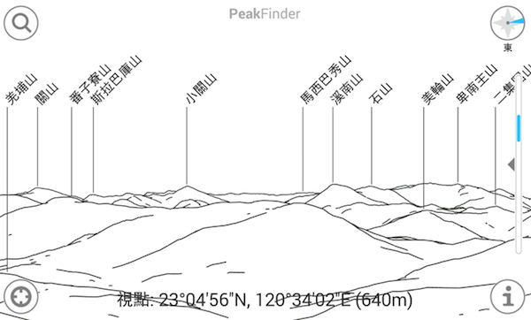
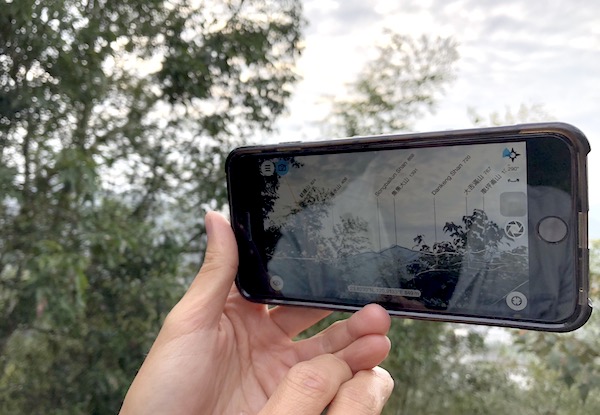
喜歡戶外運動的朋友們,你一定常在山頭賞景時想要知道每個看到山頭的名字呢!現在拜智慧型手機科技之賜,有了這款利用AR技術搭配相機結合PeakFinder,馬上帶你看懂對面那顆山頭叫什麼名字。

哪裡可以下載?
傳送門如下,馬上下載安裝快速擁有神級軟體
https://itunes.apple.com/app/peakfinder-earth/id357421934
可以辨識哪些山?
PeakFinder非常厲害,可以幾戶可以辨識出全世界350,000個山頭名稱,一點也不誇張,只要打開APP對準山頭對應的名稱就會出來囉。

••• Features •••
• Works offline and worldwide
• Includes more than 650’000 peak names
• Overlays the camera image with the panorama drawing
• Realtime rendering of the surrounding landscapes in a range of 300km/200mil
• Digital telescope to select less prominent peaks
• ‘Show me’-function for visible peaks
• Selection of the viewpoint by GPS, the peak directory or an (online) map
• Can fly like a bird from peak to peak and vertically upwards
• Shows the solar and lunar orbit with rise and set times
• Uses compass and motion sensors
• Daily updates of the peak directory
教育意義大
有了這個好用的App 如果你有小孩,或者朋友就不怕被問倒了,不知道的人還真以為你是個人肉地圖呢。


